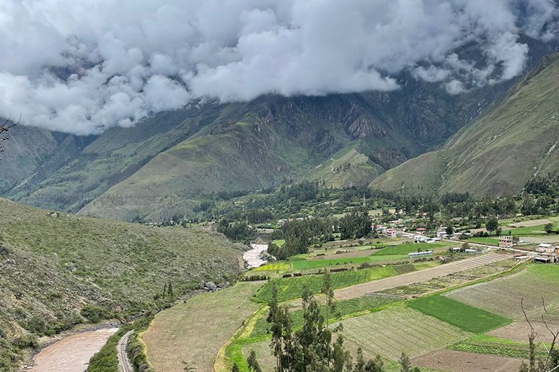
Sacred Valley
Sacred Valley of the Incas, Peru
Suni
The Mita
-

- Combination
-
- Moderate
-
- 22,8 km / 14.2 mi
- Full-day
- 5 h 45 m


Exploration Path
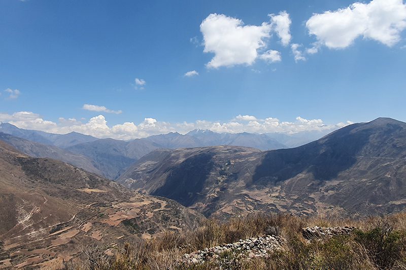
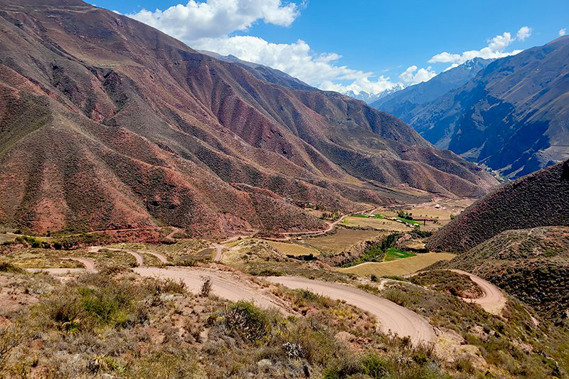
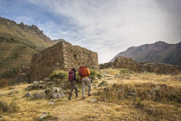
We leave by van to Chinchero, where we start an uphill hike through crop fields overlooking the valley and the snowy peaks that crown the mountains. We walk to the Machu Kolka archaeological site, formerly used as a product storage warehouse. We visit the place and enjoy a privileged view of the valley where we will have lunch. Then, we get on our bikes and start our descent down a winding dirt road to Huayllabamba. At this point, we skirt around different crop fields and bike back to Explora.
This zone showcases the valley’s verticality – a pivotal component around which the Incas developed their particular cosmovision.
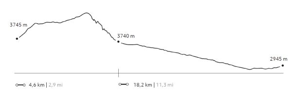
Elevation Profile
- Elevation Gain
-
639 m 2.096 ft
- Elevation Loss
-
-1.441 m -4.728 ft
- Max. Altitude
-
3.933 m 12.904 ft
- Min. Altitude
-
2.867 m 9.406 ft
Select your preferred explorations.
Select your preferred explorations.