Atacama
Desert & Altiplano, Chile
Montaña
Sairecabur
-

- High Mountain Ascent
-
- Expert
-
- 2,4 km / 1.5 mi
- Full-day
- 8 h 45 m


Exploration Path
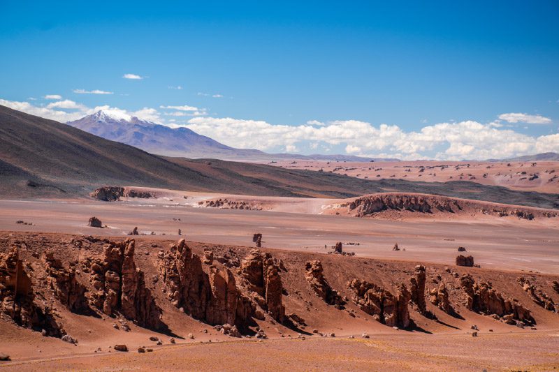
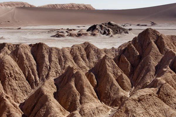
After a one-and-a-half hour drive by van, we reach the Sairecabur Volcano’s caldera, where we begin ascending. We walk through rocks, stones and loose crags and cross a former sulfur mine before taking the final steep hike.
We will reach the highest point of our explorations at the summit of the "mountain of rain", the meaning of its name.
These colossal massifs not only hoard minerals, but also encompass cultural expressions of people past and present. Axes of mystery, Atacama’s mountains frame its territory, remaining vigilant of all whom explore it.
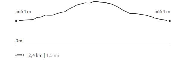
Elevation Profile
- Elevation Gain
-
294 m 965 ft
- Elevation Loss
-
-292 m -958 ft
- Max. Altitude
-
5.984 m 19.633 ft
- Min. Altitude
-
5.654 m 18.550 ft
Select your preferred explorations.
Select your preferred explorations.