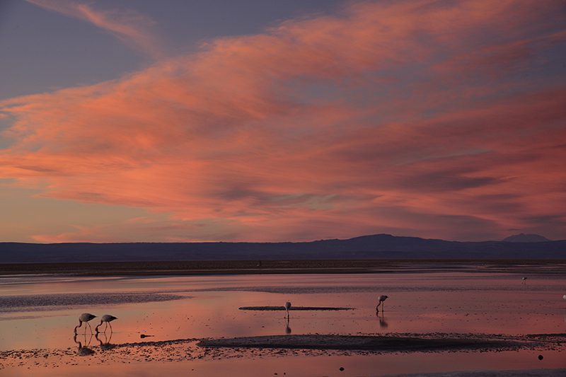
Atacama
Desert & Altiplano, Chile
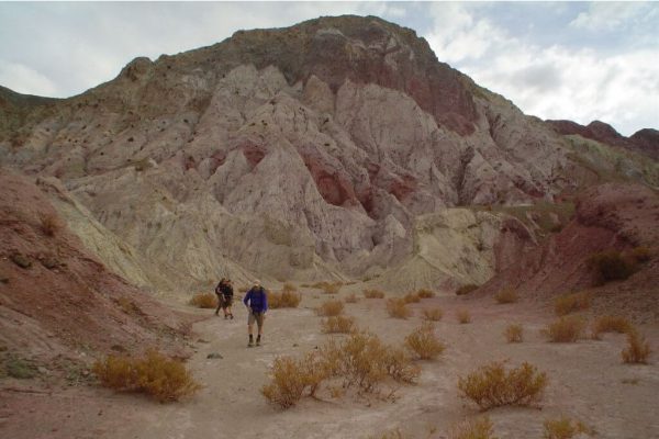
Montaña
Kimal
-

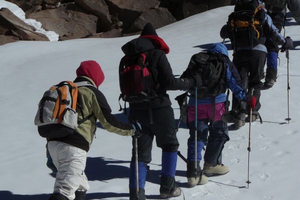
- High Mountain Ascent
-
- Moderate
-
- 6,1 km / 3.8 mi
- Full-day
- 11 h 20 m


Exploration Path
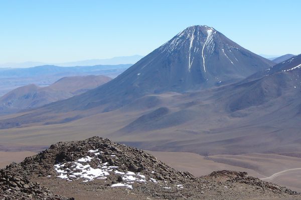
We ride a van for two hours to the Domeyko Mountain Range, until we reach the Kimal hill, the source of one of the most iconic Atacameño legends. We walk up a steep trail to the summit with panoramic views to the salt field and the mythical Licancabur and Juriques volcanoes. We descend and return to the hotel.
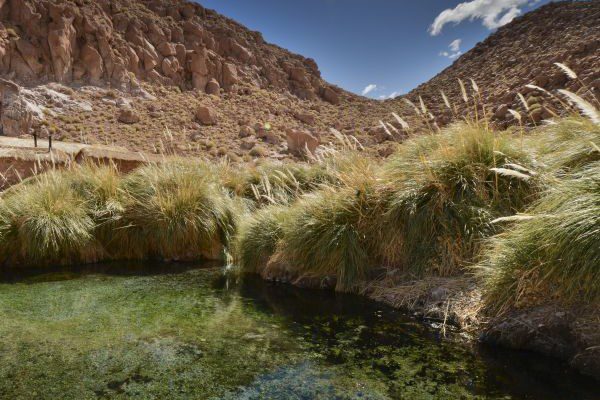
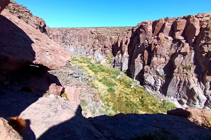
These colossal massifs not only hoard minerals, but also encompass cultural expressions of people past and present. Axes of mystery, Atacama’s mountains frame its territory, remaining vigilant of all whom explore it.
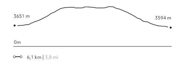
Elevation Profile
- Elevation Gain
-
695 m 2.280 ft
- Elevation Loss
-
-752 m -2.467 ft
- Max. Altitude
-
4.266 m 13.996 ft
- Min. Altitude
-
3.594 m 11.791 ft
Select your preferred explorations.
Select your preferred explorations.