Atacama
Desert & Altiplano, Chile
Altiplano
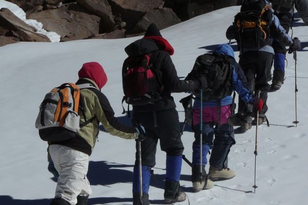
Volcán Blanco
-

- Hike
-
- Moderate
-
- 6,9 km / 4.3 mi
- Full-day
- 7 h 15 m


Exploration Path
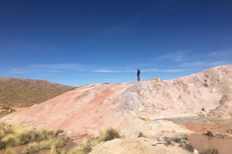
We take a van to the Tatio Geysers, where we first walk up and then down a creek to reach an unknown warm water river, the Blanco River. We walk along the river’s bed near geysers and mineral formations unique to this geological landscape.
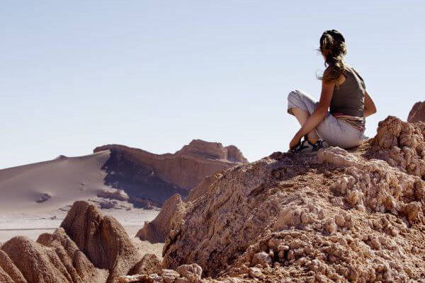
The Altiplano exists up there, somewhere between the mountains and the sky. Within, a whole new world silently awaits the intrepid explorers that venture its way. For us, this is a territory that words simply fall short of.
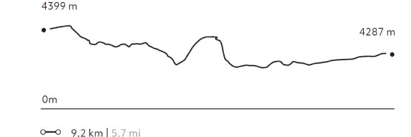
Elevation Profile
- Elevation Gain
-
208 m 682 ft
- Elevation Loss
-
-270 m -886 ft
- Max. Altitude
-
4.379 m 14.367 ft
- Min. Altitude
-
4.226 m 13.865 ft
Select your preferred explorations.
Select your preferred explorations.