Atacama
Desert & Altiplano, Chile
Quebradas Intermedias
Peñaliri
-

- Hike
-
- Moderate
-
- 16 km / 9.9 mi
- Full-day
- 8 h 10 m


Exploration Path
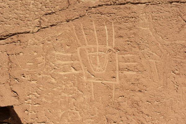
We take a van to Machuca, an Andean Plateau village. We begin exploring a wetland and then walk along a creek to the Grande River. In this exploration we can see fauna and typical Andean farming terraces. We have lunch at Peñaliri, an abandoned village.
*Temporarily unavailable. Consult other exploration options with your Explora guide at the destination.
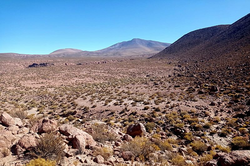
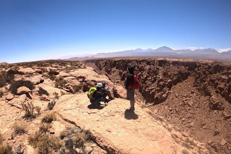
As if sliced off from the desert’s mantle, the ravines in this zone were created over millions of years by the forces of water and wind. Plunging into the abyss, they are sculptures that only time could shape.
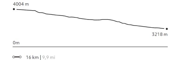
Elevation Profile
- Elevation Gain
-
273 m 896 ft
- Elevation Loss
-
-1.056 m -3.465 ft
- Max. Altitude
-
4.012 m 13.163 ft
- Min. Altitude
-
3.218 m 10.558 ft
Select your preferred explorations.
Select your preferred explorations.