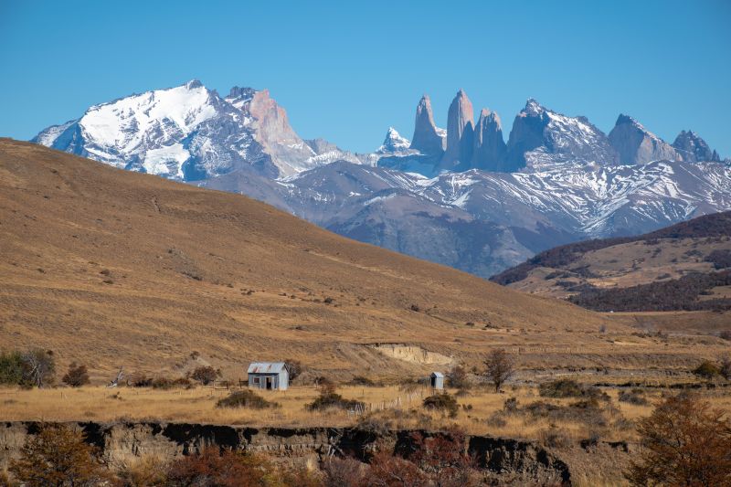
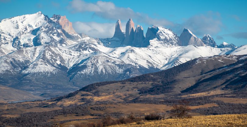
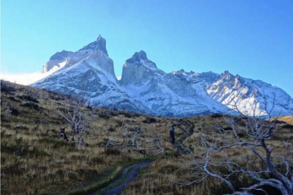
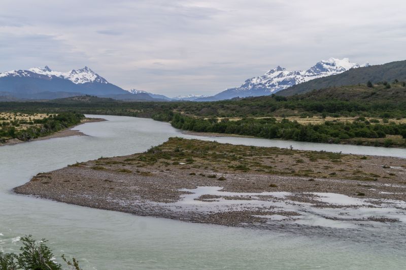
Torres del Paine
Patagonia, Chile
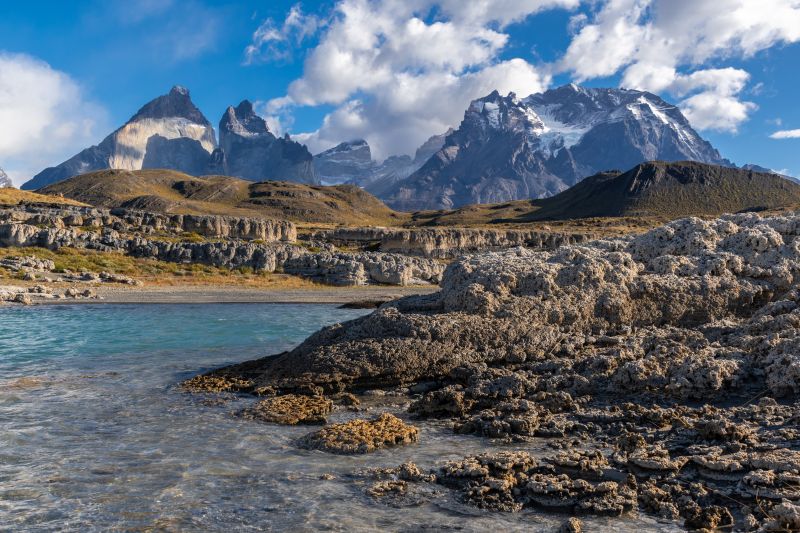
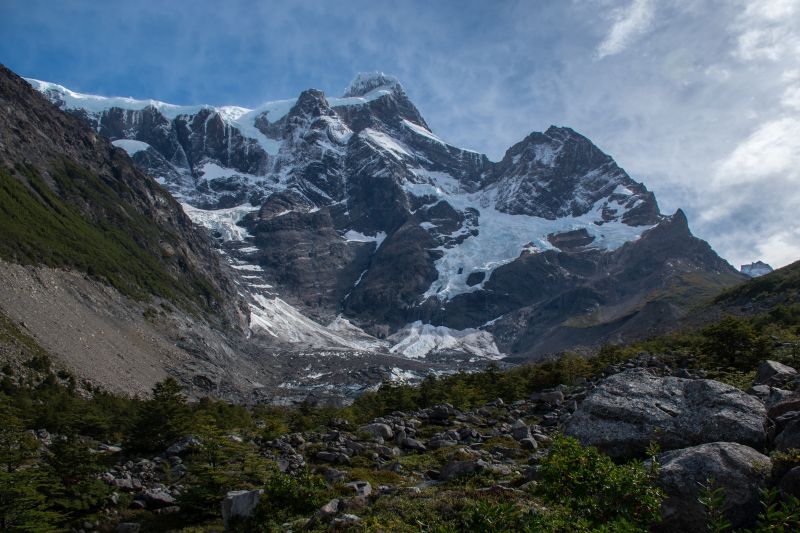
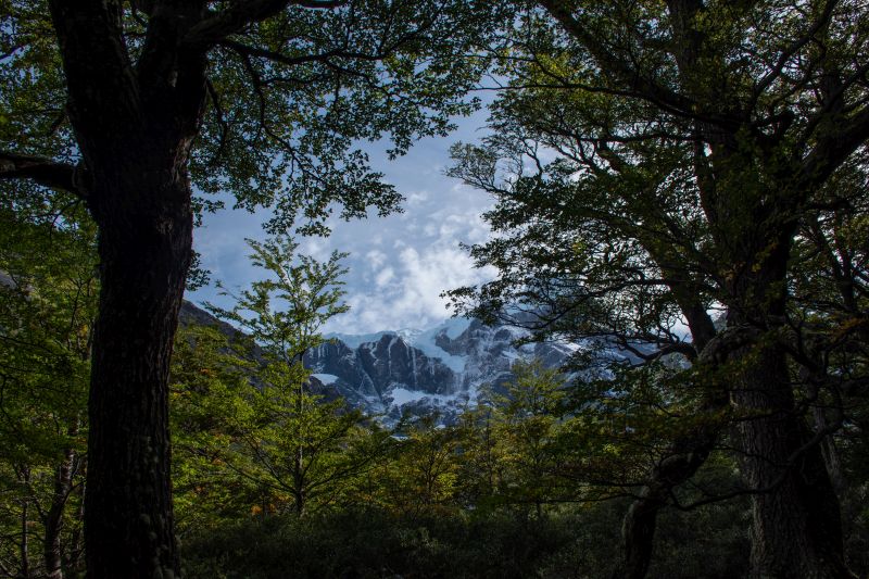
Glaciar
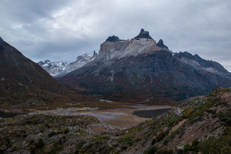
VALLE DEL FRANCÉS
-

- Hike
-
- Moderate
-
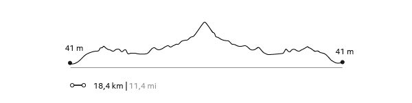
- 18,5 km / 11.5 mi
- Full-day
- 8 h


Exploration Path
We cross the Pehoé Lake by catamaran to the Paine Grande refuge where we start the trek. We enter the Francés Valley through a forest, cross the suspension bridge over the Francés River and continue to the Italian Camp. From there, we see the glacier and the granite peaks that frame the area. We return by the same trail.
*Navigation is subject to weather.
Glaciers are monuments of time. Patient titans of nature whose fragile presence is in great measure responsible for the geographic spectacle of Patagonia.
Elevation Profile
- Elevation Gain
-
632 m 2.073 ft
- Elevation Loss
-
-632 m -2.073 ft
- Max. Altitude
-
275 m 902 ft
- Min. Altitude
-
39 m 128 ft
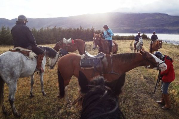
Select your preferred explorations.
Select your preferred explorations.