All Explorations
Areas
Activity
Difficulty
-
 Overland
 -
Easy
-
Half-day
 Overland
  Easy
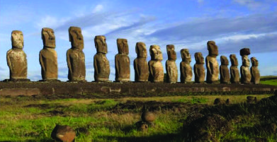
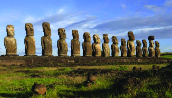
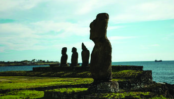
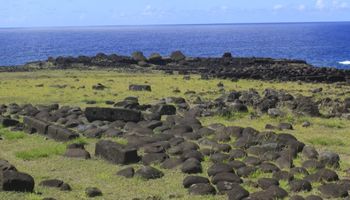
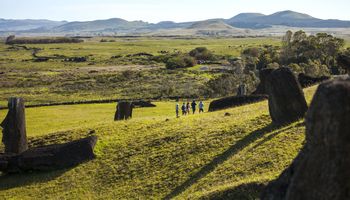
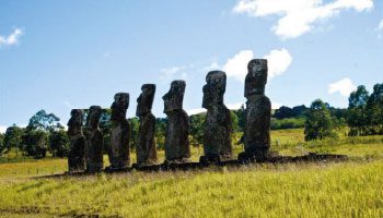
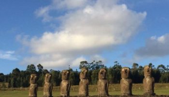
Easy We take a van to Ahu One Makihi with its huge tumbled moai. We continue to Tongariki to learn the history of Rapa Nui’s largest Ahu...
VIEW DETAILS
-
Overland
-
Easy
-
Half-day
We go by van to the Hanga Kioe archaeological site, where the Ahu Akapu is located on the west coast near the town of Hanga Roa...
VIEW DETAILS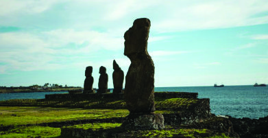
-
Self Guided
-
Easy
-
Half-day
 Self Guided
 For those travelers who want to explore the town of Hanga Roa independently, we offer you the option to go during your stay.
VIEW DETAILS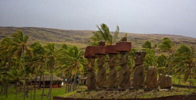
-
Hike
-
Advanced
-
Full-day
 Hike
Hike  Advanced
 We follow a trail along cliffs in the north area, crossing plains and ancient villages that belonged to the Miru...
VIEW DETAILS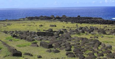
-
Hike
-
Easy
-
Half-day
We walk from the lodge to the coastline, descending among prairies, farmlands and archaeological sites...
VIEW DETAILS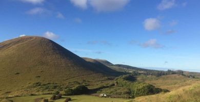
-
Hike
-
Easy
-
Half-day
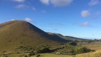
We take a van from the lodge to Maunga Tanga Roa, (the hill with the three crosses) and walk uphill....
VIEW DETAILS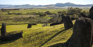
-
Hike
-
Easy
-
Half-day
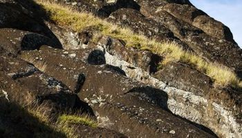
We start our hike in Rano Raraku, the moai quarry, among huge statues in different carving stages...
VIEW DETAILS
-
Hike
-
Moderate
-
Half-day
 Moderate
 Hike along the coast. We pass fishing coves, archaeological sites and Ovahe beach until we get to Anakena.
VIEW DETAILS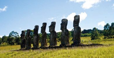
-
Hike
-
Moderate
-
Half-day
Departure by van to Ahu Akivi, the only platform with moai looking out to the sea...
VIEW DETAILS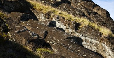
-
Hike
-
Advanced
-
Half-day
We begin hiking at the foothill of Pui Hill, known by an ancient competition in which Rapa Nui men slid on banana tree barks...
VIEW DETAILS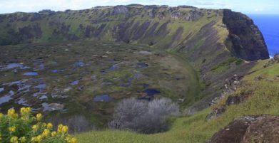
-
Hike
-
Advanced
-
Half-day
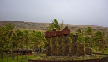
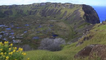
We start in Ahu Tahira, a construction platform with perfectly overlapping stone structures...
VIEW DETAILS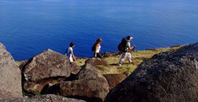
-
Hike
-
Moderate
-
Half-day
We head to Ahu Mahatua in the Poike peninsula. We follow a trail along a cliff, going by Parehe and Tea-Tea Hills...
VIEW DETAILS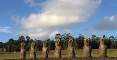
-
Hike
-
Moderate
-
Half-day
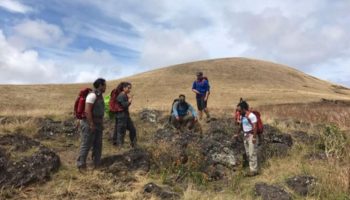
We begin our hike at the foothill of the Terevaka Volcano, going up a narrow creek and passing between archaeological vestiges...
VIEW DETAILS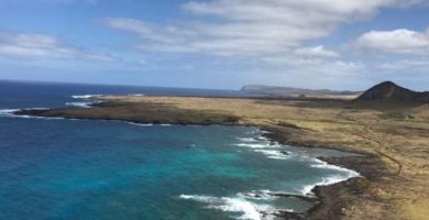
-
Hike
-
Moderate
-
Full-day
We begin this hike in Mahatua, in the Poike peninsula. We hike up a cliff to trachyte or white rock domes...
VIEW DETAILS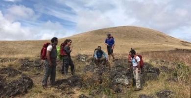
-
Hike
-
Advanced
-
Full-day
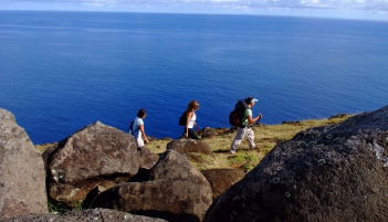
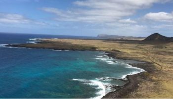
In this exploration we hike along cliffs with a view to the ocean, pass an ancient Rapa Nui settlement and see caves shaped by lava flows.
VIEW DETAILSDiscover Our Destinations
Endless revelations and possibilities await.